
Why the Vedder River Keeps Changing, and Why Your Favourite Swimming Hole Might Disappear
If you spend much time along the Vedder River, you have probably noticed it.
A swimming hole that was deep last summer is suddenly shallow. A gravel bar appears where there used to be water. A familiar section of shoreline looks completely different after a winter of high water.
That is not just your imagination.
The Vedder River is constantly moving gravel, changing channels and reshaping its riverbed. In fact, the river itself did not always follow the route we know today.
Here is why.
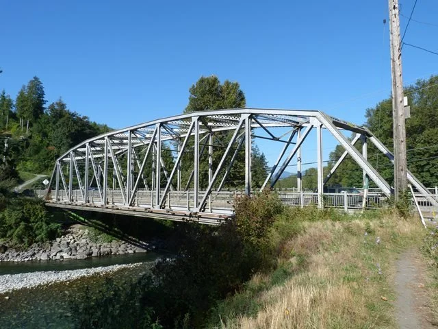
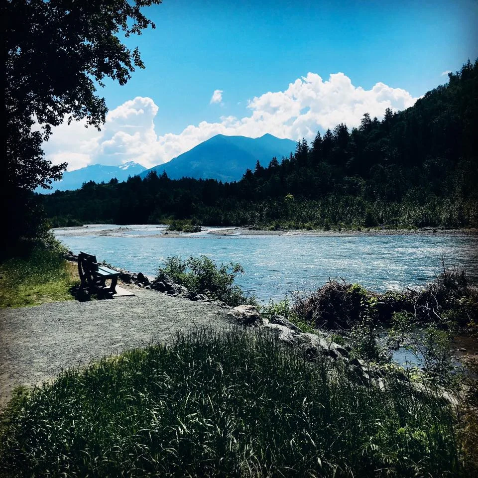
Why does the Vedder River change so much?
The Vedder carries large amounts of gravel, sand and sediment out of the mountains.
Upstream, the water moves quickly enough to carry much of that material. When the river reaches the flatter Fraser Valley near Vedder Crossing, it slows down and begins dropping it.
That sediment creates the gravel bars, islands, channels and deep pools we see along the river today.
High-water events can rearrange those features surprisingly quickly.
That is why one big storm can change a swimming spot that looked almost permanent the summer before.
A local example
This is something you can actually watch happen from year to year.
The places where people swim, fish or sit on the gravel bars along the Vedder are not fixed recreational areas. They are part of an active river system.
Sometimes a deep channel fills with gravel. Sometimes the water cuts a new route around it. Sometimes an entirely new gravel bar appears.
Your favourite swimming hole really can disappear.
The Vedder River did not always flow where it does today
The history gets even more interesting when you look beyond individual gravel bars.
Before the late 1800s, the Chilliwack River followed a different route after reaching the valley.
Instead of flowing west along essentially the route we recognize today, water travelled northward from the Vedder Crossing area toward the Fraser River.
Flooding, sediment and large logjams helped alter that course during the late 1800s.
By the 1880s, the river had shifted west toward Sumas Lake.
That change helped create what we now know as the lower Vedder River.
Then people began changing the river too
The river did not arrive at its modern shape through nature alone.
Beginning in the early 1920s, one of the largest landscape-altering projects in the Fraser Valley was underway: the drainage of Sumas Lake.
The project involved dykes, canals, pumps and major changes to the way water moved through Sumas Prairie.
As part of that work, the lower Vedder was directed into the much straighter Vedder Canal.
By the mid-1920s, the river and surrounding drainage system looked dramatically different from the landscape that had existed only a generation earlier.
That engineered system still influences how water moves across the valley today.
Why is there so much gravel in the Vedder?
The amount is probably larger than most people realize.
Technical studies prepared for the Vedder River Management Area have estimated that the river historically deposited roughly 42,000 cubic metres of sediment per year.
Following the November 2021 atmospheric river, that long-term estimate increased to approximately 55,000 cubic metres per year.
The 2021 storm alone was estimated to have deposited approximately 440,000 cubic metres of sediment in the Vedder River and Canal system.
That helps explain why gravel management is such a recurring issue here.
The river keeps bringing more material down from the mountains.
Why does Chilliwack remove gravel from the Vedder River?
When enough sediment builds up, portions of the riverbed can become higher.
A higher riverbed can reduce the amount of water the channel can carry during high-flow events, which is why sediment removal has been used as one part of the Vedder River flood-management system.
It works alongside infrastructure such as dykes, bank protection and river-training structures.
You may occasionally see excavators and trucks working directly along the river during approved in-stream work periods.
The subject is not without debate.
Some residents and conservation groups have raised concerns about how gravel removal affects salmon habitat and whether removing sediment from particular locations provides meaningful flood protection.
So when gravel removal starts along the Vedder and the Chilliwack comment sections light up, there is actually a much bigger story behind it.
The challenge is balancing a naturally moving river, flood protection and an ecologically important salmon-bearing waterway.
Why do Vedder River swimming holes disappear?
The simple answer is moving gravel.
During periods of high water, the river has enough energy to pick up and relocate enormous amounts of sediment.
That can:
fill previously deep pools
create new gravel bars
erode sections of shoreline
open new channels
close old channels
redirect the fastest part of the current
The result is a river that can look noticeably different from one summer to the next.
So if you discover the perfect swimming hole this year, enjoy it.
There is no guarantee the river will build the same one again next summer.
The Vedder is still writing the map
Today, most of us experience the Vedder as a place to walk, cycle, fish, swim, watch salmon or spend a summer afternoon.
But when you stand beside it, you are looking at something much less permanent than it appears.
The river has changed its own course.
People have redirected portions of it.
Floods continue to reshape it.
And every year, thousands of cubic metres of new sediment continue moving downstream.
That is what makes the Vedder so interesting.
It is not simply a river running through Chilliwack. It is one of the forces that helped create the landscape Chilliwack sits on today, and it is still changing that landscape now.
So the next time your favourite swimming hole disappears, you will know why.
The river is still writing the map.

Photograph Courtesy of Chilliwack Museum and Archives
Frequently Asked Questions About the Vedder River
Did the Vedder River always flow where it does today?
No. Before major channel changes in the late 1800s, the Chilliwack River flowed northward from the Vedder Crossing area toward the Fraser River. Flooding, sediment and logjams eventually helped redirect the lower river west toward Sumas Lake.
When was the Vedder Canal built?
The Vedder Canal was created as part of the Sumas Lake drainage and flood-control project in the early 1920s. The river was directed into the new canal system during that period.
Why does the Vedder River have so much gravel?
The river carries gravel and sediment downstream from the mountains. When it reaches the flatter Fraser Valley, the water slows and begins depositing much of that material on the riverbed.
Why does Chilliwack remove gravel from the Vedder River?
Sediment accumulation can raise portions of the riverbed and reduce the channel's capacity during high-water events. Gravel removal has therefore been used as one component of flood management, although individual removal projects can also generate debate over flood-protection benefits and fish habitat.
Why do swimming holes on the Vedder change every year?
High water moves gravel around the riverbed. A deep pool can fill with sediment, a gravel bar can wash away or the river can cut a new channel. Swimming spots can therefore change significantly from one summer to the next.
